Top pick for this guide
Lake Powell Kayak and Water Antelope Canyon Hike Guided Tour
Experience one of Lake Powell's highest rated guided kayak adventures, featuring exclusive water access to the breathtaking Water Antelope Canyon. Pro...
 Canyon Country Comes Into View.
Page, Arizona · Orientation field 01
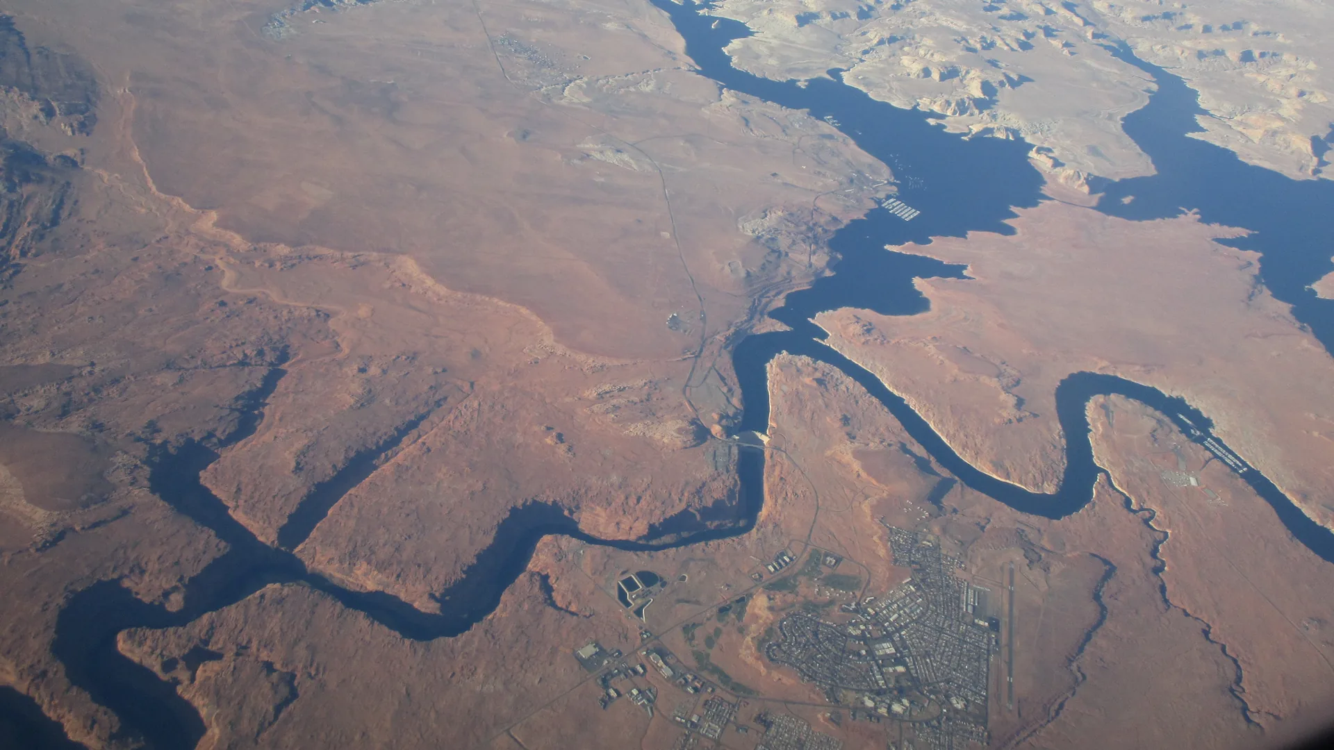
Use Page as a real base. See which experiences are in town, on federal land, on Navajo land, on the Colorado River, or on the Lake Powell reservoir—then build a day that respects those distinctions.
How to read this base
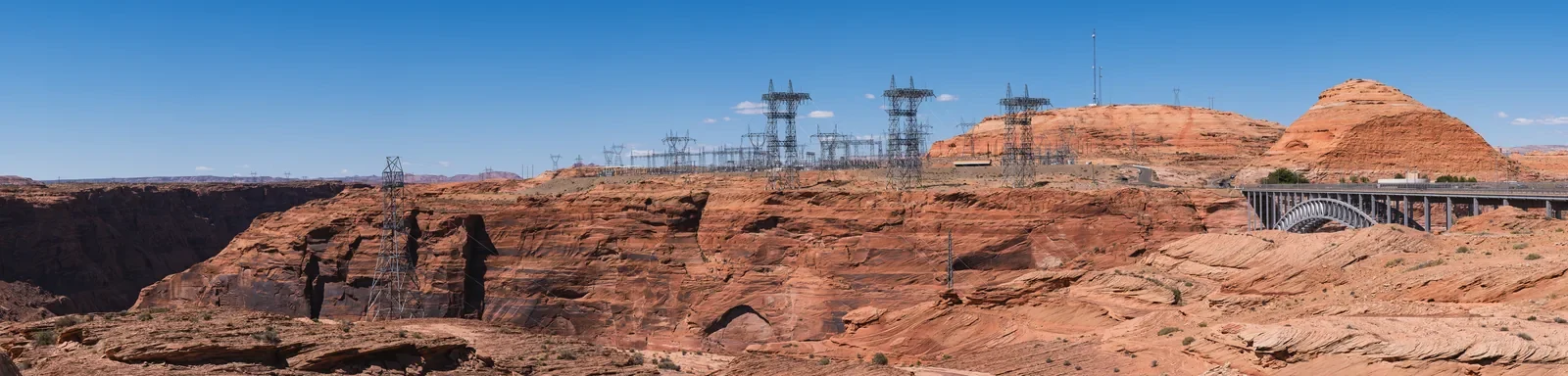
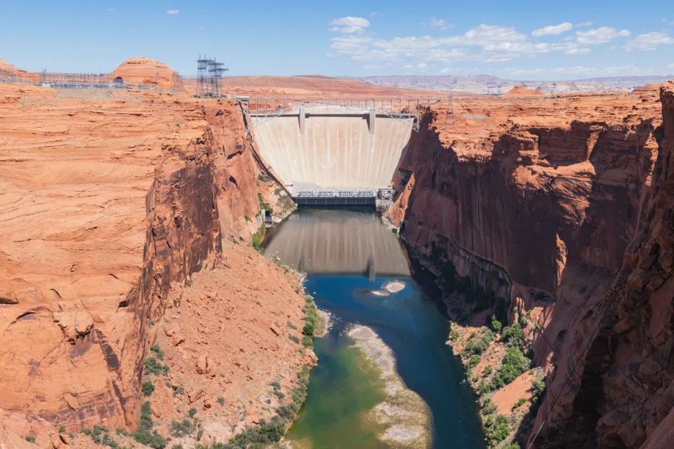
Tourism Page Arizona is an independent orientation-first guide to Page as a real community and practical base. It helps travelers distinguish City streets and facilities, federal public land, Navajo land and authorized guided access, the Colorado River, Lake Powell reservoir, and Bureau of Reclamation infrastructure.
Start by choosing the experience that matters most, identify the responsible current source, then build the rest of the day around distance, exposure, access, and a clear route back to Page. The goal is calm confidence—not ownership claims, a longer bucket list, or a promise that changing conditions will stay fixed.
Experience one of Lake Powell's highest rated guided kayak adventures, featuring exclusive water access to the breathtaking Water Antelope Canyon. Pro...

This tour is a free shuttle from most hotels in Page. It includes a comfortable air-conditioned Van, professional Na...

Lower Antelope Canyon is one the most exquisitely photographed attractions in the Page Lake Powell area. Many visito...

This four-hour kayak, hike and swim tour into the sacred Antelope Canyon offers an unforgettable adventure: combinin...
Ask for tour ideas, hotel suggestions, or a simple trip plan that combines both.
Know whose place, water, and access
Page helps orient a trip; it does not own every nearby landscape. Current rules and authorized access come from the responsible land manager, Nation, City, or provider.
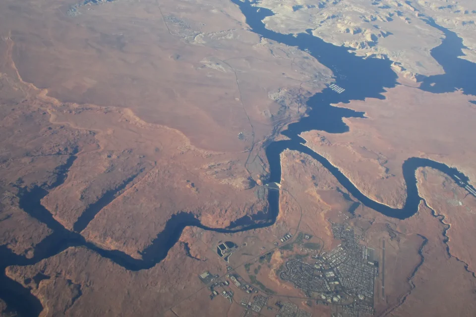
Downtown, parks, library, civic facilities, streets, and the community on Manson Mesa.
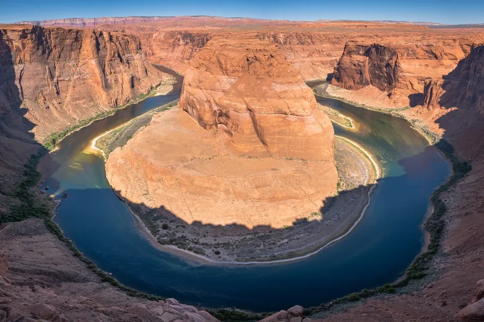
Glen Canyon National Recreation Area and Horseshoe Bend require current National Park Service guidance.
Antelope Canyon and other Navajo-land experiences require authorized Navajo guides and current Navajo Nation rules.
The Colorado River and Lake Powell are not interchangeable; the reservoir waterline and access can change.
Choose a planning lens
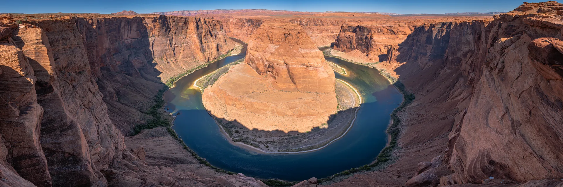
Viewpoint, not ownership claim
Plan the exposed approach, current conditions, and safe viewing behavior through official guidance. The photograph is the beginning of context, not the whole trip.
Plan viewpoints carefullyProvider-selected experiences
Product facts, images, ratings, prices, availability, cancellation terms, and booking remain provider-owned. Confirm the land and meeting context on the final provider page.
Capture the stunning beauty of Mountain Sheep Canyon, Rattlesnake Canyon, and Owl Canyon on this exclusive photography tour designed for experience...

Navajo owned and operated. On this, 4 1/2 hour, half day tour you will see two of the most sought after Canyons in the Page, Az area. Both Canyons...
Lower Antelope Canyon is one the most exquisitely photographed attractions in the Page Lake Powell area. Many visitors prefer the Lower Antelope Ca...

Travel between the town of Page, Arizona and Las Vegas, Nevada. Choose a daily one way between these amazing destinations as you explore the Southw...
Newest from the field desk
Use Page as a stable base while distinguishing City, federal, Navajo, river, reservoir, engineering, access, and stay-planning contexts.
Open the guideTreat parking, exposed approach, rim safety, river context, and current National Park Service guidance as part of the visit.
Open the guideSeparate moving river, reservoir waterline, dam context, weather, launch, and provider decisions before choosing a water day.
Open the guideBegin with Navajo Nation authority, an authorized guide, current operator rules, consent, photography boundaries, and schedule margin.
Open the guideFuture live hotel inventory
Nuitee import is not configured yet. The theme is ready to style native hotel cards when inventory is available; until then, use the editorial planning guide without invented hotels, prices, ratings, or availability.
Open Where to Stay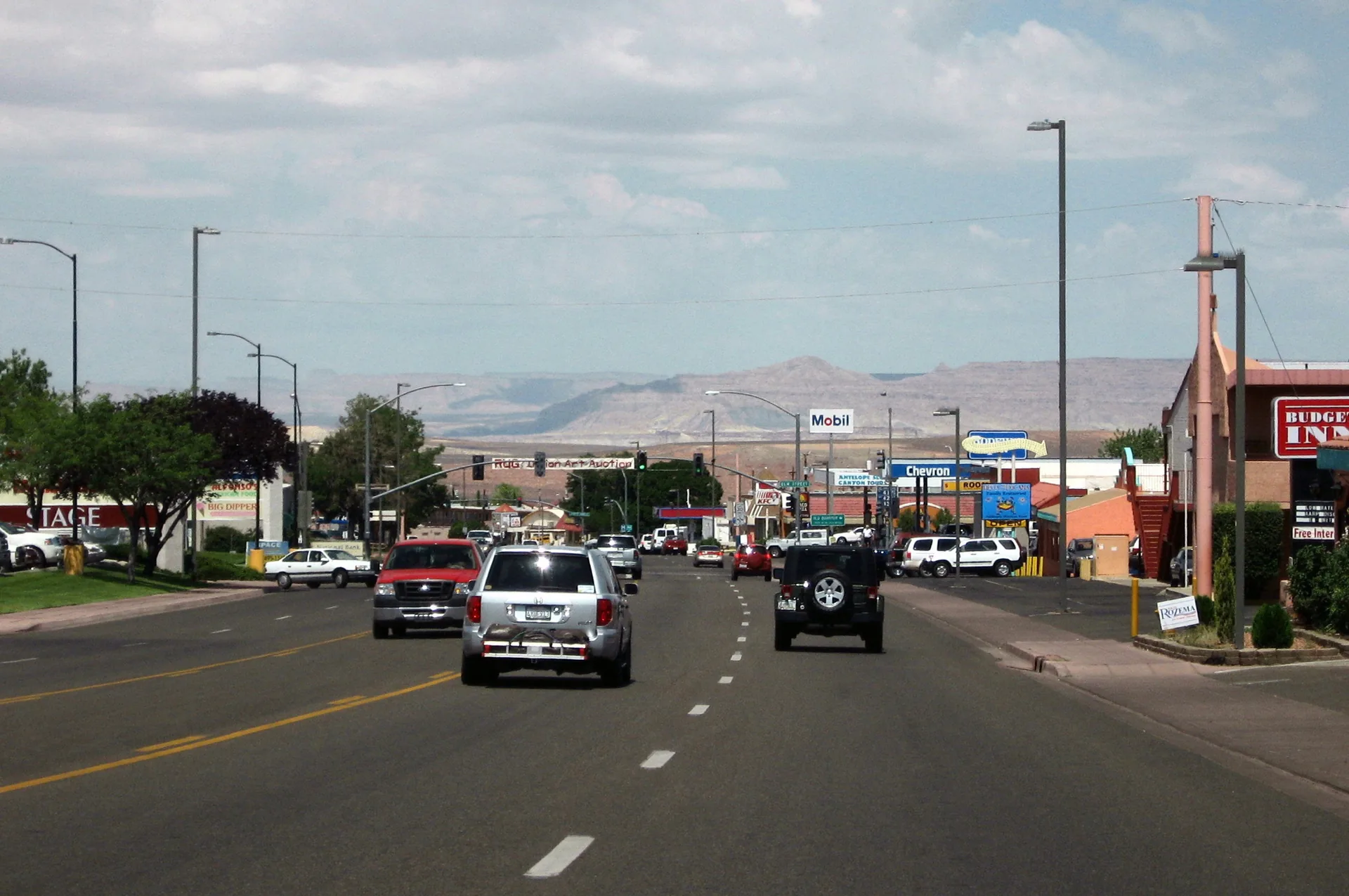
Page is more than an approach road
Downtown streets, parks, the library, local businesses, and everyday services turn a spectacular landscape trip into a coherent stay.
Read Page Town guides →