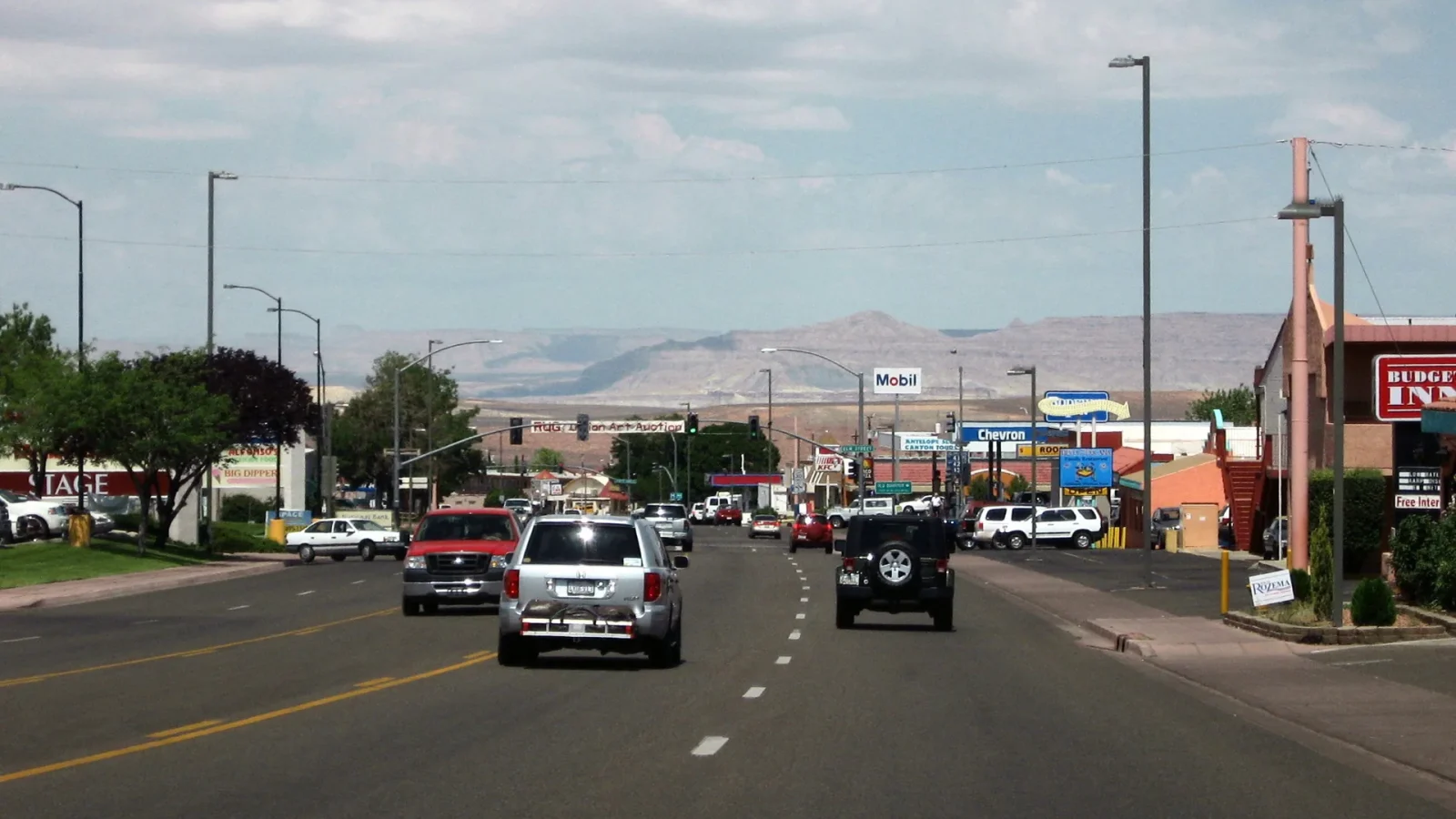
Page is often described only as a gateway. That word is useful for orientation and incomplete as a portrait. Page is a young planned city on Manson Mesa with downtown streets, parks, a library, businesses, schools, airport activity, public services, art and events, the Rim Trail, and residents whose lives are not a pause between photographs.
Use the compact grid
Page’s town scale makes it possible to reset between large landscapes. Walk a practical downtown section when conditions suit, use a park or library, buy what the trip actually needs, and take time to understand the city’s relationship to the mesa edge. Do not assume every road is pedestrian-friendly; follow current crossings, sidewalks, and local guidance.

Upper or Lower Antelope Canyon & Horseshoe Bend Tour from Page
This tour is a free shuttle from most hotels in Page. It includes a comfortable air-conditioned Van, professional Navajo guide, bottled water, and war...
Make local businesses part of the route, not a label
Choose restaurants, shops, makers, markets, and services because their actual work interests you. Do not ask one business to represent “authentic Southwest culture.” Learn the maker and terms when buying art or jewelry. Ask before photographing a person, worker, vendor, or small interior, and keep doors and service areas clear.
Read the city’s origin with complexity
The Bureau of Reclamation established the community for Glen Canyon Dam workers in 1957, but human presence and continuing tribal relationships in the wider Glen Canyon region extend far beyond the modern city. The dam story includes power, water, engineered scale, environmental change, archaeology, displacement, recreation, and altered river conditions. A simple founding date should not imply an empty landscape before construction.
Use the Rim Trail as orientation, not a stunt
A perimeter route can clarify Page’s mesa position and surrounding views, but trail length, surface, exposure, intersections, weather, and access need current information. Choose a section that fits the day. Carry water and sun/wind protection. Do not leave the established route for an edge photograph or imply that a complete circuit is required.
Build a town-scale recovery block
- Eat and refill water without a distant detour.
- Check the responsible source for tomorrow’s anchor.
- Charge devices and confirm the exact meeting or parking point.
- Use a park, library, or quiet street to reduce decisions.
- Return to lodging early enough to make the next day resilient.
A town hour can be the most practical part of a canyon-country trip. It turns Page from a label on a hotel search into the stable shelf from which the rest of the landscape comes into view.
Choose lodging and supplies without inventing a resort story
Live Nuitee inventory is not configured here, so use the Where to Stay planning lens rather than an invented property ranking. Consider the next day’s meeting point, vehicle and gear needs, food, charging, laundry, refrigerator, parking, noise, access, and cancellation terms. Confirm actual property details directly on the final booking source.
Supplies purchased in town can protect the landscape day from unnecessary driving. Refill water, fuel, and food before an early departure. Check whether specialist gear or a service is actually available rather than assuming a gateway city stocks every item.
Let current community events remain current
Art activity, markets, live music, and the Balloon Regatta can add human scale when they are truly occurring. Do not copy an old calendar or promise an annual event’s date. Use current City or organizer information, follow event photography rules, and remember that a festival is not the permanent identity of every resident.
Connect town and horizon carefully
Page’s streets, airport edge, mesa perimeter, dam approach, and distant water can appear in one view. Use that orientation to understand roads and scale, not to wander onto restricted infrastructure, private property, or an unofficial rim track. The open horizon is clearest when the route remains lawful and ordinary.
City source

Both Upper and Lower Antelope Canyon Tours - Arizona Tours
Navajo owned and operated. On this, 4 1/2 hour, half day tour you will see two of the most sought after Canyons in t...

Lower Antelope Canyon Tour Ticket
Lower Antelope Canyon is one the most exquisitely photographed attractions in the Page Lake Powell area. Many visito...

Lower Antelope Canyon General Guided Tour
The Navajo name for Lower Antelope Canyon is Hasdeztwazi or “Spiral Rock Arches.” This incredible canyon has bee...
Upper or Lower Antelope Canyon & Horseshoe Bend Tour from Page
This tour is a free shuttle from most hotels in Page. It includes a comfortable air-conditioned Van, professional Navajo guide, bottled water, and war...
Use the City of Page and current City facility or event pages for local operating details. The independent guide does not reproduce changing event calendars or hours.